


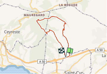


16.5 km | 24 km-effort

User


FREE GPS app for hiking
 SityTrail
IGN / Geographical institutes
SityTrail World
The world is yours!
Trail Walking of 13.8 km to be discovered at Provence-Alpes-Côte d'Azur, Var, La Cadière-d'Azur. This trail is proposed by chrifor.
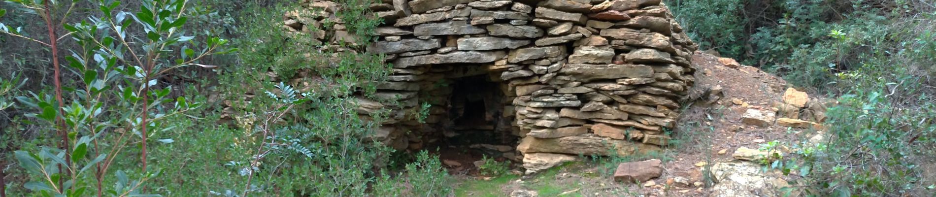
Et toujours un panorama exceptionnel par beau temps!


Walking

Walking

Walking

Walking

Nordic walking
Nordic walking

On foot

Walking

Walking